NORTH SLOPE MANAGEMENT LLC is owned fully by the developing partners, and is one farming option. Such services include pruning, irrigation management, soil amendments, and harvesting. NSM brings its combined expertise together to provide timely professional viticultural attention to every production detail necessary to develop healthy, fruitful, and sustainable vineyards.
Environmentally sound and sustainable vineyard practices are at the core of our management philosophy. The SeVein partners and NSM team are active members in VINEA, the Walla Walla Valley Appellation certified sustainable viticulture organization. Focused attention on soil health is essential to growing healthy plants capable of withstanding disease and pest pressures. It also ensures these vineyards will produce great wine grapes for generations to come.
North Slope Management, Seven Hills Vineyard, and most of the developing properties are participating members of Vinea, the first Walla Walla Valley sustainable farming association. this group is also a member of Salmon Safe, Oregon Live and the International Organization Of Biological Controls (IOBC). IOBC is a 50-year-old international organization that certifies and audits performance criteria and standards to promote sustainable farming practices.


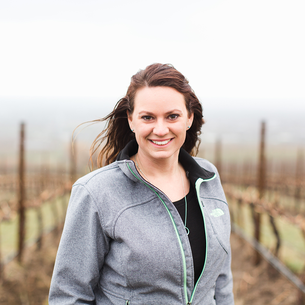
Sadie Drury is a Walla Walla native who has been passionate about agriculture since her first job of picking strawberries at the age of 12. In 2007 Sadie decided to combine her passion for agriculture with her love for quality wine by attending the Center for Enology and Viticulture at Walla Walla Community College and pursuing a career in viticulture. In 2008 Sadie started an internship at Ciel du Cheval Vineyard where she moved up the ranks to Assistant Vineyard Manager. Sadie joined the North Slope Management team in early 2013 and took over the reins of Operations Manager and Viticulturist later that year. She currently manages 8 vineyards including Seven Hills Vineyard. Sadie is involved with many winegrowing organizations. She’s a past Washington Technical Chair for LIVE Certified (Low Input Enology and Viticulture), she currently sits on the board and technical committee for Vinea Sustainable Trust, she is a member of the Education Committee Washington Winegrowers, and she is on the Oregon Wine Standing Committee on Research. Sadie is committed to growing the highest quality wine grapes possible while improving sustainable practices industry wide.
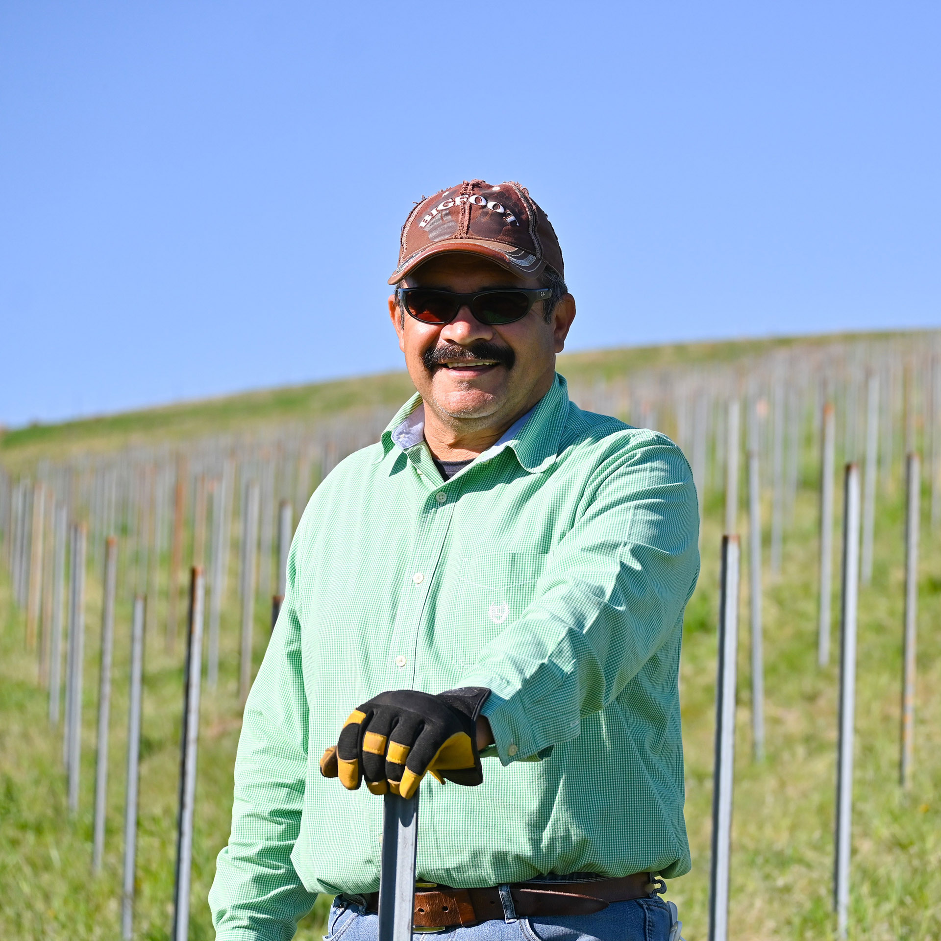
Lupe has dedicated his career to working in agriculture with the last three decades focused on growing world-class wine grapes. In 1991, Lupe helped Norm McKibben and Tom Waliser plant the first block of grapes at Pepper Bridge Vineyard. Over the years, Lupe has managed the crews that planted many vineyards around the valley, including the Seven Hills Vineyard expansion in 1997 and numerous vineyards in the SeVein development. His knowledge of the vines and the site are unsurpassed by anyone and he has shared his knowledge with hundreds of crew members along the way ensuring quality management. He is constantly working with the vineyard owners and peers to improve his viticulture skills. In 2018 Lupe received the Vineyard Excellence Award from the Oregon Wine Board in recognition of his service and skills in winegrowing.
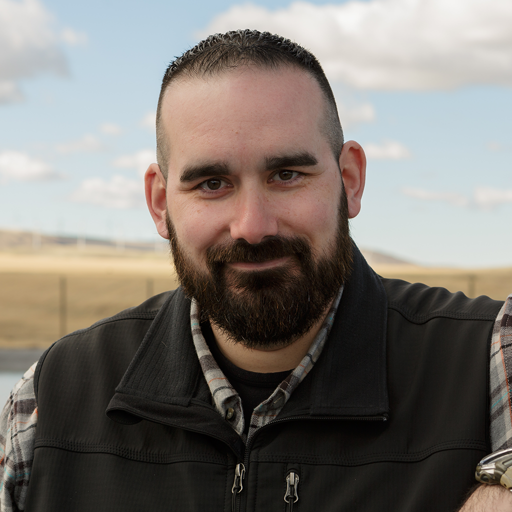
James became a part of SeVein following the completion of his degree in Watershed Ecology. James has an extensive background in Environmental Health and Safety, and a passion for the vital resource of water. James is not only a part of the SeVein family but also a father of four children. James and his family choose to reside in the Walla Walla Valley because of its amazing landscape, innovative ideas, and community.